StreetNet: Reliable Geodata for Analysis and Planning.
A solid foundation for your GIS workflows and mapping solutions.
Smart Data Beyond Transport
A comprehensive geospatial database designed for solutions where efficient movement and cost savings matter.
- Designed for navigation and transport use cases - including routing, optimization, and planning.
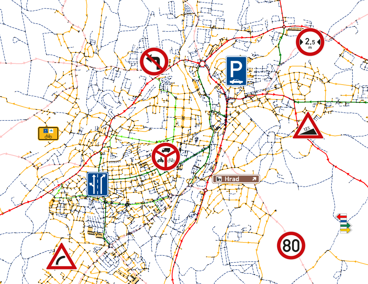
- Core layer: a seamless, fully routable road network, from highways to pedestrian paths.
- Also used in asset management, spatial planning, geomarketing, map portals, and more.
- Regular, professional, and systematic updates.
- Coverage: Czechia (including a 20 km border zone) and Slovakia.
Additional Data Extensions for Advanced GIS Use Cases:
Accurate turn-by-turn navigation.
Navigation Restrictions and Enhanced Routing Attributes.Mapping solutions and accessibility analysis for pedestrians, cyclists, and skiers.
Tourism Infrastructure.Geomarketing, service coverage, and accessibility analysis.
Points of Interest (POI) Database.Precise modeling of movement along the network.
Road Gradient and Curvature for Higher-Class Roads.
Navigation to addresses or Points Of Interest.
Connection to the RÚIAN Address Database (CUZK) and POI Data.Support for dynamic navigation.
Integration with RDS-TMC Location Tables.Unambiguous localization within the Czech Road and Motorway Directorate system.
Linked to the ULS Registry (Node Location System).


GIS analysis and web mapping portals
Reference

"CEDA Maps is our reliable provider of professionally maintained data, essential for delivering accurate and up-to-date traffic information within the National Traffic Information Center."
Ing. Filip Týc, Head of Road Database and NDIC Department,
Road and Motorway Directorate of the Czech Republic
Looking for the right data for your mapping project?
Get in touch and we’ll help you find the data that can enhance or power your solution.