Innovations for the mobility of tomorrow.
We follow trends and look for ways with the help of maps, data, and smart algorithms to create an intelligent and ecological transport of tomorrow.
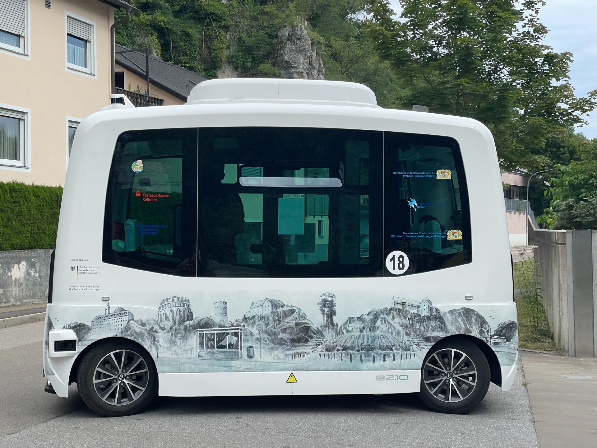
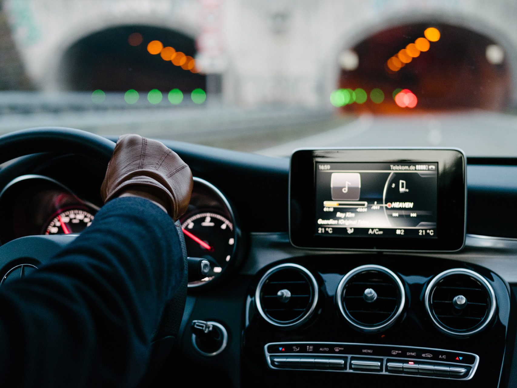
The development and deployment of self-driving cars of the future
Self-driving cars, trams and trains need to know their position and the surroundings accurately and safely. In addition to sensors, they rely on HD maps we are creating using state-of-the-art mobile mapping system.
- Reliable self-driving car positioning using a combination of super-precise maps and sensors
- Independent of satellite navigation
- Custom HD maps for autonomous system developers
- Accuracy, frequent updates, detailed descriptions of mapped objects
- Support for the introduction of self-driving vehicles into service
- Collaboration on the development of autonomous technologies and monitoring global trends
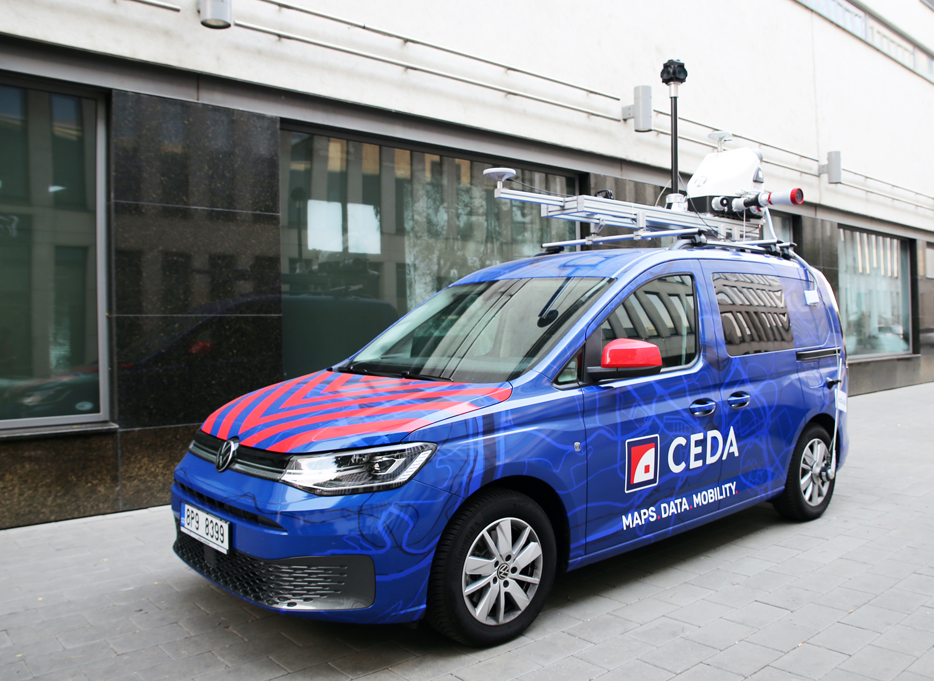
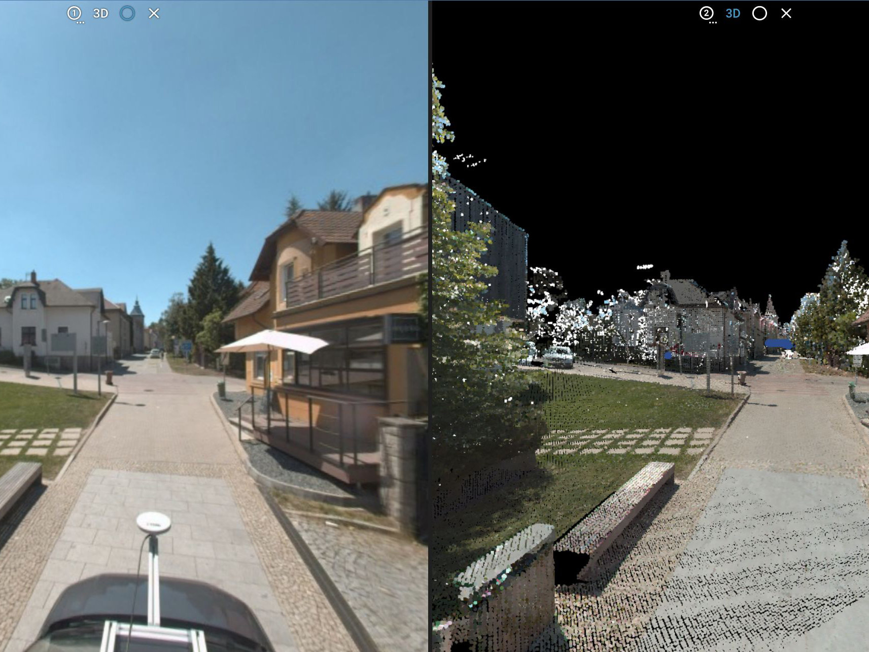
HD mobile mapping
Using HD mobile mapping systems and processing huge amounts of data using artificial intelligence, we capture reality and convert it into valuable information in the form of passports, digital technical maps or road surface mapping.
- We use the most advanced mobile mapping technology available globally
- Efficient data capture and processing that delivers an incredible amount of information for various agendas
- Capturing and processing images and point clouds of the area of interest with an accuracy of less than 10 cm in 3D
- Collision detection for objects against vehicle or train profile
- Evaluation of defects on roads
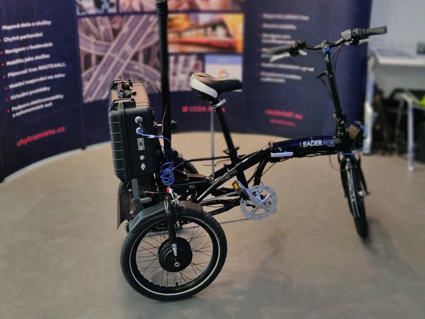
ROUTE4ALL and automated data capture
ROUTE4ALL allows route planning for people with various mobility restrictions. It combines accurate data about walking routes and barriers with route calculation algorithms developed in collaboration with representatives of the disabled groups.
- Automated capture of data on pedestrian network and barriers
- Efficient walkway mapping for route planning or passporting
- Detailed data for the needs of the disabled and other population groups

Comprehensive road chart
We will provide you with geographic data describing the transport network in comprehensive detail. Its chief benefit is the ability to link agenda requirements with navigation and the possibility to link up a host of various agendas.
- Localization of public transport stops and routes as well as traffic signs
- Registration of parking spaces
- 100% compatibility with Global Network data
- Broad use – multi-purpose and multi-modal to suit your needs

Sustainable transport development
A combination of public, individual and shared transport can improve the working of transport systems while reducing the pressure on parking and new roads. We will advise you on how to go about it.
- Linking all transport options into one service
- Improved comfort, faster travel
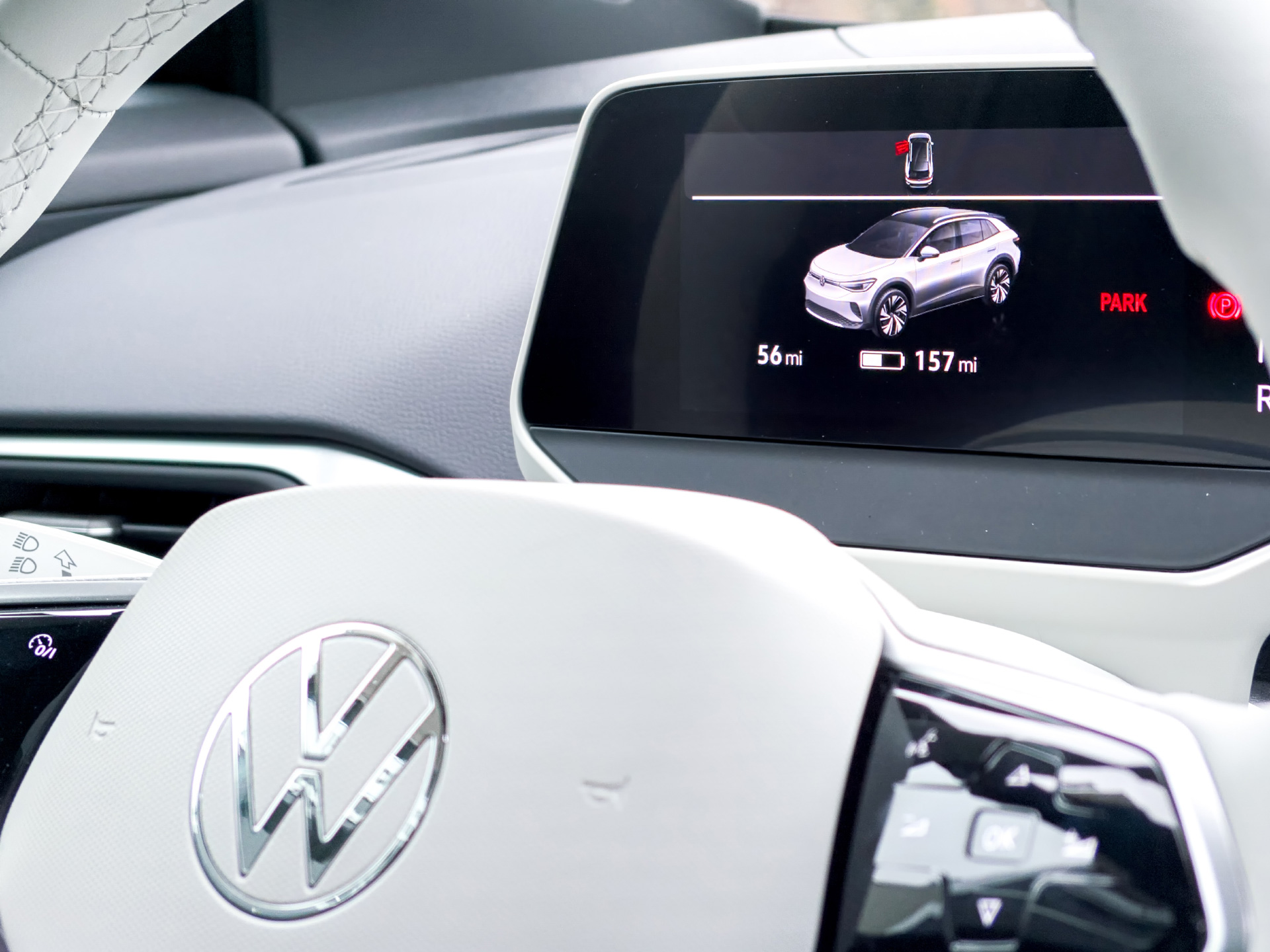
- Electric vehicle guidance to available charging stations
- Electric vehicle range calculation based on battery level, route profile and other factors
- New transport concepts (bus on demand, shared economy as a part of public transport system)
- Smart City and IoT data used to improve urban transport

Traffic and mobility forecasting
With our long-term traffic monitoring and artificial intelligence algorithms, we can predict traffic conditions, parking occupancy and future delays. Your app will use the data to plan routes more accurately or optimize vehicle fleets.
- Smart planning of future routes
- Improved travel comfort
- Minimized losses and problems caused by poor traffic estimation
- Estimation of mobility demand and supply
- Reliable intermodal route planning
Environmentally friendly logistics and transport
We will offer you a solution for route planning and fleet optimization to significantly reduce the emissions of your cars.
- Aggressive reduction of carbon footprint using modern routing approaches
- Streamlined planning of logistics orders
- Insight into emissions
- Alternative drive support
A solution for unavailability of satellite navigation in tunnels and car parks
We will provide you with an open registry of location infrastructure allowing navigation app developers to provide directions even in places without a satellite signal. This allows them to provide early warning to drivers about a traffic jam, stationary vehicle or time-controlled switched traffic light as well as warn about arriving emergency service vehicle.
- Improved traffic flow and safety
- Vehicle speed and position monitoring
- Reduced number of emergencies
- Streamlined transport management
- Information about vehicle and personnel location for rescue teams
Virtual twins and self-correcting maps
New information concepts combine highly accurate maps with real-time information from sensors and devices. Virtual mirroring of the actual environment enables to better understand various processes and use simulations to model more efficient behavior of control systems or train self-driving cars. Vehicles fitted with sensors can report any differences between maps and the physical world.
- Virtually real-time map updates
- The highest possible traffic information density in a given location
- Environment for highly realistic traffic control and autonomous vehicle testing and debugging
- Transport system management across the entire lifecycle