Smart Traffic Data.
We connect drivers, sensors, applications and passengers. Online data about transport, parking, charging spots and public transport.

Historical and online traffic data
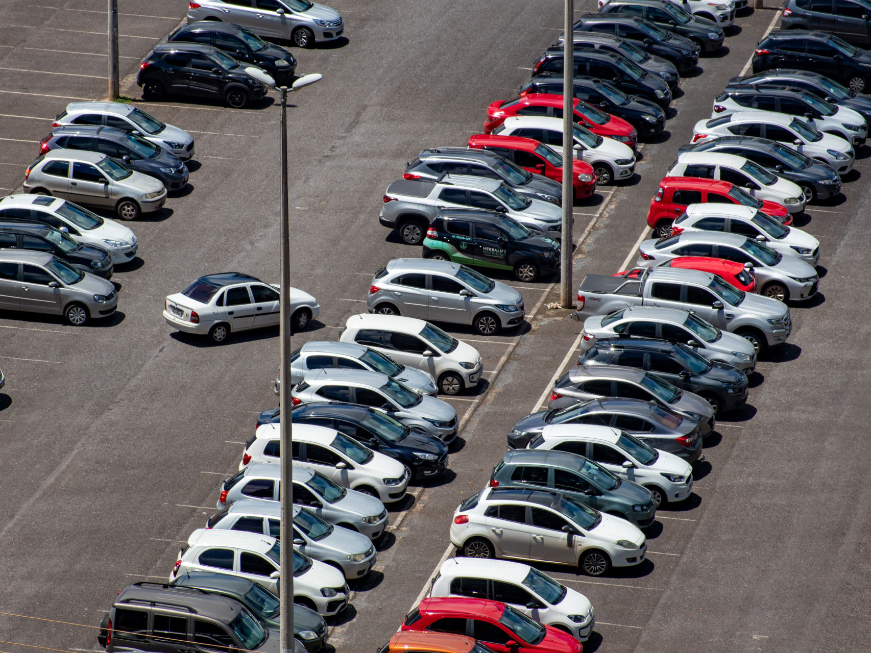
Enhance your solution with traffic information related to a specific spot or road as well as real-time parking or charging station occupancy data.
- Historical traffic data and their analysis
- Core data, their visualization and integration
- Straightforward data access over API
- Data localization above CEDA maps
- Integrate your own data

Delays and closures
We will alert you to current road closures and possible delays at the moment and in the future. And we will find the fastest routes considering current traffic conditions.
- Traffic and closure data released using API
- Future route searching
- Reliable ETA calculations
- Traffic condition estimates based on day of the week
- Use estimated travel times to improve fleet operations, delivery services or field work

Online data serving both drivers and passengers
We will convert current traffic data to maps so you can embed them in your web or mobile apps. We can combine advanced features such as finding a parking space and walking you to your destination.
- Eliminate unnecessary traffic searching for parking spaces in congested city areas
- Comprehensive overview of parking options including prices, regulations by vehicle type and size, authorization required and other parameters
- Parking space guidance using custom sensors
- Aggregation of transport data from a large number of sources
- Provisioning aggregate data using DATEX II, JSON, XML and other protocols

Open data provisioning
We create solutions for open sharing of commercial mapping and traffic data.
- Aggregation of open data from various sources into a uniform format to suit your needs
- Enable data owners to unlock and share useful transport data from consulting through licensing to distribution and technical support
- Data is provided on a highly available and reliable platform

Accurate localization of traffic events
We build location tables to unequivocally determine the location of traffic incidents for car makers, electronics manufacturers and other subscribers. We offer apps and services to convert location data between diverse map bases.
- Creation and certification of location tables for traffic information broadcasting over RDS-TMC and other channels
- Conversion of traffic event location data between map versions and diverse standards (DATEX II, RDS-TMC, by direct positioning using road segments and dynamic positioning using OpenLR)


![[Translate to Angličtina:] [Translate to Angličtina:]](/fileadmin/user_upload/logo_RSD.jpg)


